Scott Marchant worked in partnership with Visit Idaho to create this Travel Tip.
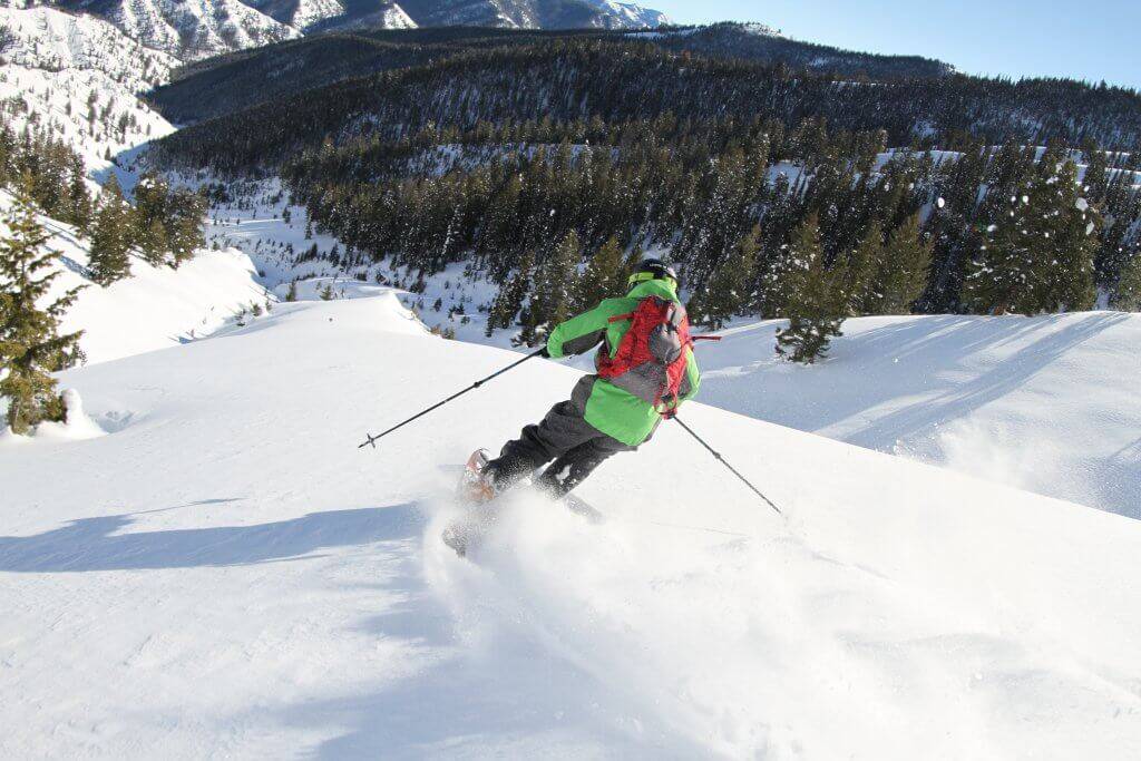
Sometimes the difference between embracing and loathing the cold temperatures of winter is nothing more than learning how to play in winter’s snow. The easiest outdoor activity is certainly snowshoeing. With a pair of snowshoes, you can virtually explore anywhere there is a carpet of snow. Here are three Idaho snowshoe routes of varying difficulties to help you find the serenity of winter.
Ponderosa State Park near McCall
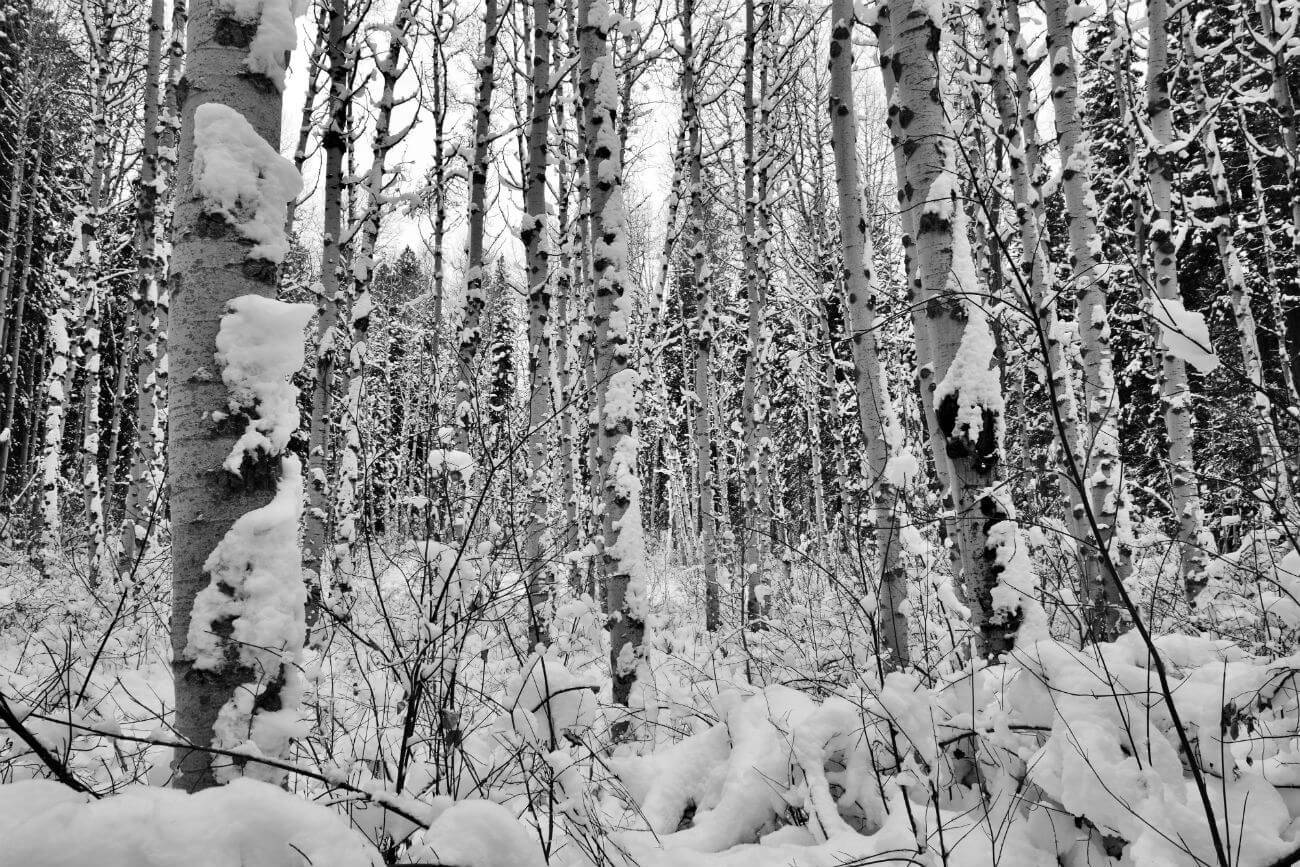
Meadow Marsh Loop: Ponderosa State Park contains a plethora of interconnecting snowshoe trails allowing you to create routes of varying lengths. For an easy snowshoe outing try the Meadow Marsh loop. The relatively level trail wanders through dense woods with huge ponderosa pines and circumnavigates little Meadow Marsh. There are pockets of aspen and the trail junctions are well-signed. Out-and-back distance is about 2.5 miles with 100 feet of gain.
Trailhead Location: From McCall, take Railroad Avenue to Davis Avenue. Turn left and proceed another 1.1 miles to the park entrance. Once in the park, continue less than a mile to the activity center and large parking area. You’ll want to bring some cash with you to cover the winter access fee for this park.
Stack Rock Trail near Bogus Basin Mountain Recreation Area
Stack Rock Trail: This moderate snowshoe trek starts at an elevation of 5,750 feet in dense forest. The route is not marked well so you should be comfortable with route-finding. The trail is usually obvious, made so by prior users but may be obscured after a major snow. There are good destinations at a half-mile (250 feet of total elevation gain/loss), 1.4 miles (400 feet of total elevation gain/loss) and 1.9 miles (500 feet of total elevation gain/loss) where there is a distant view to Stack Rock. All of the destinations provide beautiful views north to Shafer Butte and to the rolling ridges in the Boise National Forest. The first half-mile of the route is on a single-track and the remainder of the snowshoe is on forest road.
Trailhead Location: From the junction of Hill Road and Bogus Basin Road near downtown Boise, travel north on Bogus Basin Road for 12.7 miles to a large pullout on the left side of the road. The unsigned trailhead is located along the perimeter of the pullout.
Mores Creek Summit near Idaho City

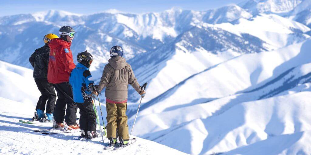
Sunset Mountain Trail: This snowshoe is all about the views, initially looking west to Pilot Peak, then extensive vistas looking north into the Boise National Forest. It is the most strenuous of the three snowshoes, although most of the elevation gain occurs in the first 0.7 mile. The entire snowshoe is along an old forest road so route-finding is not too difficult. There are good destinations at 0.7 mile (425 feet of total elevation gain), 1.25 miles to an open clearing with views to the fire lookout atop Sunset Mountain (625 feet of total elevation gain) and at 2.4 miles to spectacular vistas north (about 1,000 feet of total elevation gain). Strong snowshoers can continue to the top of 7,869-foot Sunset Mountain—nearly two more miles with an additional 1,000 feet of gain.
Getting There: From Idaho City, travel north on ID 21 for 13.1 miles to Mores Creek Summit and turn right into the large parking area (no fee). The parking lot is plowed throughout winter. The trailhead (road) is located along the southeast corner of the parking lot. The area can be busy on weekends as snowmobilers use the parking area for their vehicles to access Pilot Peak on the opposite side of ID 21.
There are a few precautions to be aware of when winter exploring. Make sure you have adequate clothing—no cotton—and layer your clothing for temperature changes. Be aware of changing weather conditions and avalanche danger in slide-prone areas. Lastly, if you venture into backcountry that is infrequently traveled, route-finding skills are essential as routes are likely not marked.
Feature image credited to Scott Marchant.
Scott Marchant is a Boise-based guidebook author and landscape photographer. He currently has five hiking guidebooks in print, including his most recent release—Best Easy Hikes Greater Boise. Scott also produces an annual Idaho calendar, Idaho puzzles and other products. Visit hikingidaho.com for more information.
Published on December 20, 2018


