SARA SHEEHY WORKED IN PARTNERSHIP WITH VISIT IDAHO TO CREATE THIS TRAVEL TIP.
A trip to the Land of the Yankee Fork, the historic mining region nestled between Stanley and Challis, is unforgettable. Hop in the car for a day-long journey to explore stage stops along an old toll road, mining ghost towns and a 988-ton dredge. Enjoy scenic vistas and spot wildlife while weaving through mountains and along rivers.
Plan to spend a full day on this adventure. From start to finish the loop drive is 98 miles (46 miles of dirt/gravel road with no services, 52 miles of paved highway).
Begin Your Journey at the Land of the Yankee Fork Visitor Center
A day exploring the Yankee Fork begins at the Land of the Yankee Fork State Park Visitor Center in Challis. Park rangers are on hand to provide guidance and maps of the driving route.
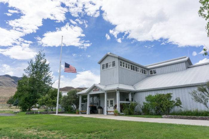
The Visitor Center houses an interpretive center with artifacts chronicling the area’s mining history ($2 per person or $5 per family). On the grounds is a ¼ mile trail detailing the archeological finds of a nearby buffalo kill site.
Armed with knowledge and maps, it’s time to hit the road and begin your journey through the Land of the Yankee Fork.
Explore Stage Stops Along the Custer Motorway
The road from Challis to Custer and Bonanza (called the “Custer Motorway”), completed in 1879, was built to service the mining boom towns of the Yankee Fork. The toll road was used to carry equipment and supplies, and also offered a passenger service.

With few exceptions, the existing 46-mile Custer Motorway follows the same toll road. The dirt and gravel road is open after the snowmelt has cleared (call the Land of the Yankee Fork Visitor Center for current status), and is not recommended for low clearance vehicles or trailers.

After climbing above Challis, the road drops into the Yankee Fork of the Salmon River drainage. The road weaves through mountains, along the river, and past the remains of numerous stage stops and horse barns built to service the toll road.
Tour Custer, Bonanza and the Yankee Fork Gold Dredge
Custer and Bonanza were the biggest towns in the Yankee Fork. Active between 1877 and 1911, the towns rose and fell with the mines.
Custer was built along a single main street spanning more than a mile. Today, many of the buildings are open to the public, with a self-guided tour that tells the story of Custer and its place in Idaho’s mining history.
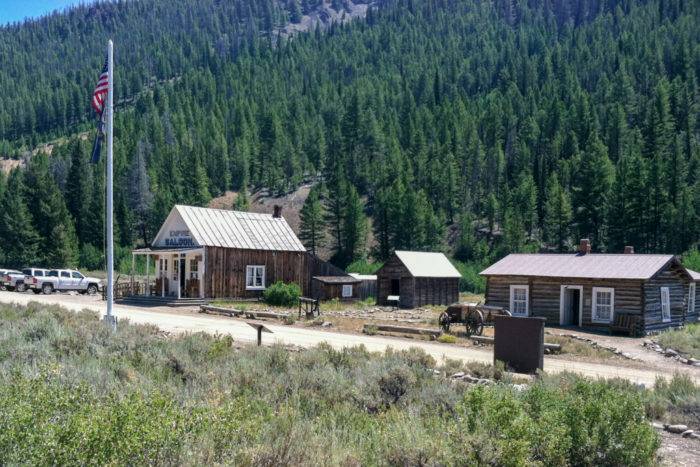
Each July, the Land of the Yankee Fork State Park presents Custer Days. Food, music and historical reenactments bring the town to life. See the park website for information about the next Custer Days celebration.
Nearby Bonanza, once the larger of the two towns, was destroyed by fire in the 1890s. A cemetery and other small buildings can still be seen.

Between Custer and Bonanza is the Yankee Fork Gold Dredge. Shipped from Minnesota in 1940 and assembled on-site, the 988-ton dredge mined a 5 ½ mile claim along the Yankee Fork. Stop in for a tour hosted by volunteer docents from the Yankee Fork Dredge Association (Memorial Day through Labor Day, $5 per adult, $1 per child).

The tailings of the dredging operation can be seen as you drive the remainder of the Custer Motorway to Highway 75.
Take a Scenic Drive Along the Salmon River
At the small hamlet of Sunbeam, near the intersection of the Custer Motorway and Highway 75, are the remains of a short-lived hydroelectric dam on the Salmon River. In operation for less than a year, the power operations went bankrupt in 1911. The dam was breached in 1934 to grant fish passage, allowing sockeye salmon to return to Redfish Lake following their journey from the Pacific Ocean.
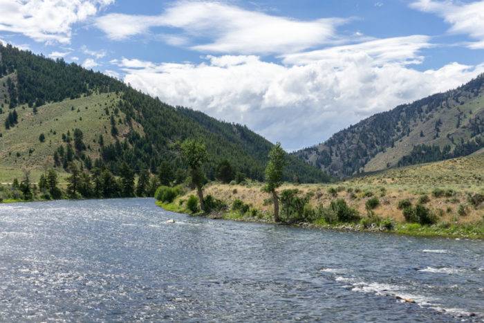
The drive east along Highway 75 is a twisting, scenic tour along the Salmon River. Small pullouts on the side of the road provide opportunities to see fishermen, rafters and kayakers enjoying the river. Keep an eye out for bald eagles and other wildlife.
Experience Bayhorse, the Silver City
The last stop on the journey is Bayhorse, a ghost town 14 miles west of Challis. Once a silver town in the 1880s, Bayhorse is a recent addition to the Land of the Yankee Fork State Park. The town is well preserved, showcasing beautiful stone buildings and a large stamp mill. Be sure to check out the large beehive ovens used to generate charcoal to fuel the stamp mill.
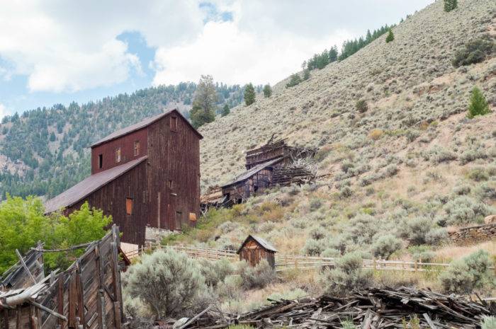
After leaving Bayhorse, continue west to Challis and complete your journey through the scenic Land of the Yankee Fork.
Note: The Land of the Yankee Fork can be explored starting from any location along the loop. The experience above starts in Challis and drives counter-clockwise beginning with the Custer Motorway and returning to Challis on Highway 75.
All photos, including the feature image, are credited to Sara Sheehy.
Sara Sheehy seeks adventure in the mountains of Idaho and beyond. Follow her on Instagram at @sarasheehy.
Published on September 1, 2016
